Built by industry professionals, AbaData delivers powerful, easy-to-use software that connects energy operations across the field and the office.
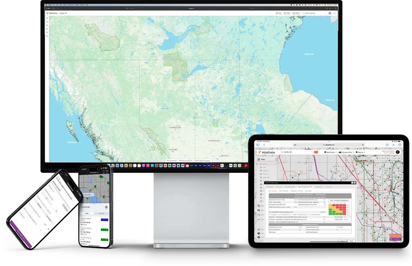
AbaData is an energy tech company committed to reshaping how energy teams work. For more than 20 years, we've helped operators, engineers, field teams, and analysts transform their workflows through simple, powerful software and GIS mapping tools. We are known for delivering practical, dependable solutions that improve safety, efficiency, and profitability. Our platform is purpose-built for the energy industry and informed by deep, firsthand knowledge of what matters in the field.
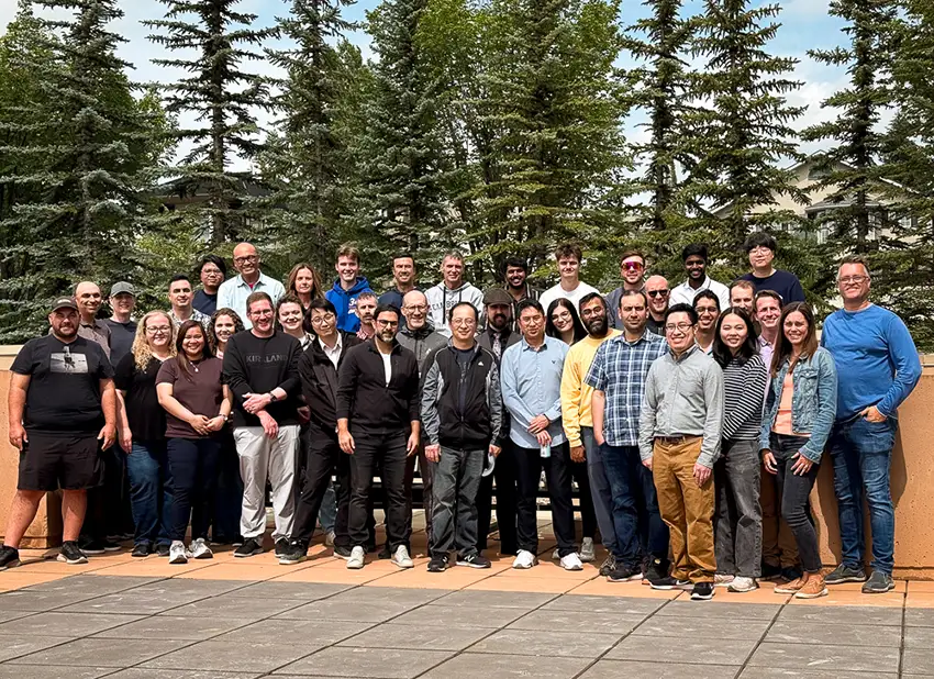
Join Our Team
Amit Vadan is a serial entrepreneur and former investment banker experienced in scaling technology-driven businesses. Amit co-acquired and joined AbaData in 2022 to help drive strategic growth and operational excellence. He holds an MBA from Queen's University and is a Chartered Professional Accountant (CPA).

Jason Toews is an experienced technology executive and entrepreneur, best known as the co-founder and former CEO of GasBuddy, a platform that reached over 100 million users and transformed how people find and report fuel prices. After its acquisition by OPIS, he co-acquired and joined AbaData in 2022 to lead its exceptional team.

Kurtis Poettcker is the founder and a co-owner of AbaData, with over 20 years of expertise in IT, SaaS, and GIS solutions. As CTO, Kurtis leads technological innovation and strategic integration initiatives. He holds a Master's Degree in Geographical Information Science from the University of London, and certifications as a GISP and Certified Engineering Technologist.
Energy professionals throughout Western Canada trust AbaData to provide essential data to optimize their operations. From land management to asset integrity to field operations, our all-in-one software solution provides unmatched control and visibility for your teams.
At AbaData, our technical support team is committed to providing excellent customer service and timely assistance. We are available 24/7 to answer your questions and ensure that our solutions meet your needs.
Our comprehensive land and critical infrastructure solutions are based on the best available data and information. Our data is accurate, up-to-date, and tailored to your unique needs.
We strive to provide innovative solutions that meet our customers’ specific needs. Our experienced team is here to provide personalized service and ensure that your project is completed to the highest standards.
AbaData’s solutions are designed to maximize your business potential. We are committed to delivering superior products and services that will help you get the most out of your resources.
AbaData is the most trusted and reliable source for comprehensive land and critical infrastructure solutions in Western Canada. Our well-known brand reputation is built on delivering high-quality programs, applications, and services across industries.
AbaData is proud to work with some of the largest companies in Canada. Our commitment to providing exceptional quality and service has been integral to our success, and we look forward to forming long-term strategic partnerships with our customers.
Explore our platform or reach out to discover how we support energy operations across North America.